The intent of the study was to provide decision-makers, planners, developers, landowners, and government agencies with the tools and information required to make sustainable shoreline use decisions.
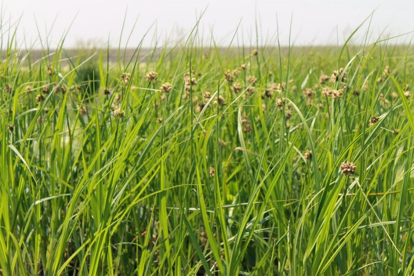
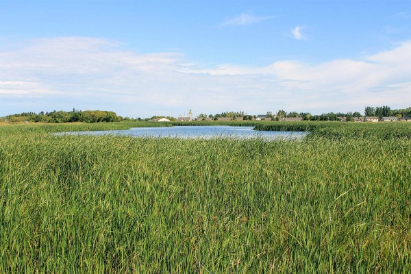
For the Sensitive Habitat Inventory and Mapping, NPS staff surveyed and summarized information on the current conditions of the foreshore of Lake Winnipeg’s south basin. Baseline ecosystem data, including an inventory of foreshore morphology, land use, riparian condition, and anthropogenic alterations, were collected to aid in prioritizing critical areas for conservation and/or protection. Fifty individual and unique shoreline segments were identified along the 300 km.
NPS provided scientific expertise in the areas of wetland and upland plant identification, wildlife identification, and general field data collection and processing. Professional services provided to complete this work fell into the following categories: biology, wetland/plant ecology, invertebrate ecology, and wildlife ecology.
The scope of work included:
- Advisory and consultation services for project planning and study design;
- Field surveys of Lake Winnipeg’s south basin, including foreshore inventory and mapping, wildlife habitat surveys, and biological on-shore sampling (fish, wildlife, plants, and aquatic invertebrates);
- Data collection, management, and summary
- Written report