Our professionals provide you with pre- and post-project ecological information, field data collection, and analysis.
Assuring the public and regulators that your project will have as small an environmental footprint as possible is important. You may need to demonstrate that the impact of your activities on the environment will be appropriately mitigated at the conclusion and commissioning of your project. You may also be required to show that best management practices are incorporated into your environmental approach.
Our environmental services can bring you peace of mind in knowing that you took an environmentally responsible and scientifically defensible approach to development and compensation.
Ecological Surveys, Monitoring, and Research
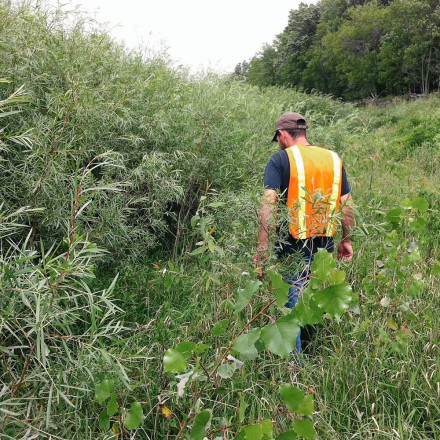
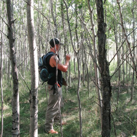
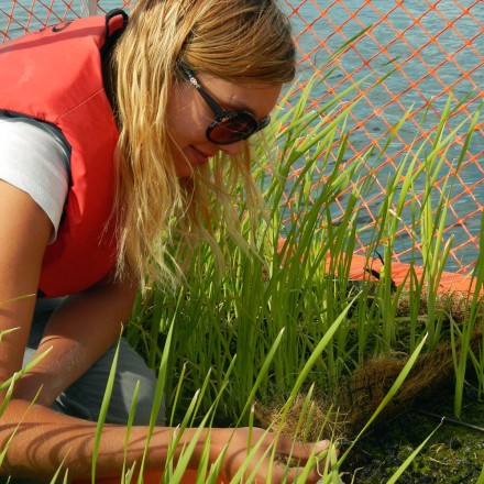
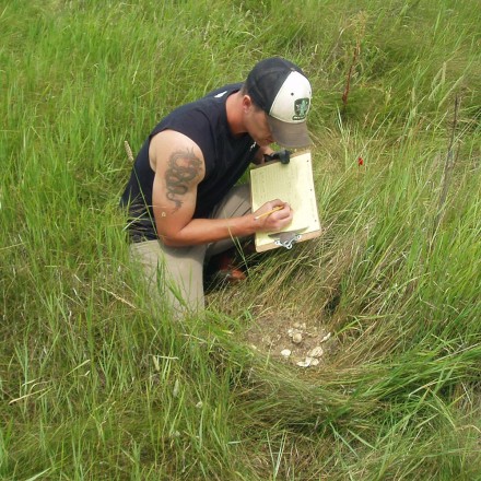
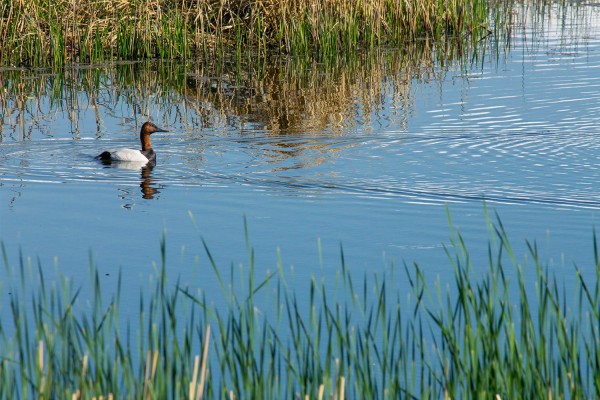
Ecological surveys can be designed to inventory biota in an area, assess habitat types and identify regions of high biodiversity. They can also be structured to collect data on sensitive species or capture more rigorous data on habitat variables that support ecosystem functions in an area.
Ecological surveys provide baseline data prior to landscape and development projects. They help direct activities to minimize adverse environmental effects and ensure proper steps are taken to preserve, mitigate or recreate habitats. They can also monitor a suite of habitat variables and fauna once development has occurred. Our services include:
- Soil sampling and classification
- Water and land mapping and inventory
- Habitat assessments
- Species surveys, inventories and identification
- Recommendations on best management practices
Quality Assurance and Environmental Audits
We provide third-party verification and site inspections for clients concerned about the delivery of wetland and upland products and services by suppliers.
Geographic Information Systems (GIS) Products
NPS draws on Ducks Unlimited Canada’s extensive experience in digitizing, classifying and managing wetland and upland geo-spatial land products. To date, DUC has established a conservation geo-database, which incorporates digitized wetland and upland components on over 5,600 habitat projects that cover approximately 1.2 million hectares across Canada. Because GIS technology plays such a critical role in DUC’s wetland conservation efforts and is an important strategic planning tool, our staff is on the leading edge of this technology.